RURAL
Merry Lane
Offenham, Worcestershire
Residential · Infill Development · Rural Planning
Completing the pattern of Station Road
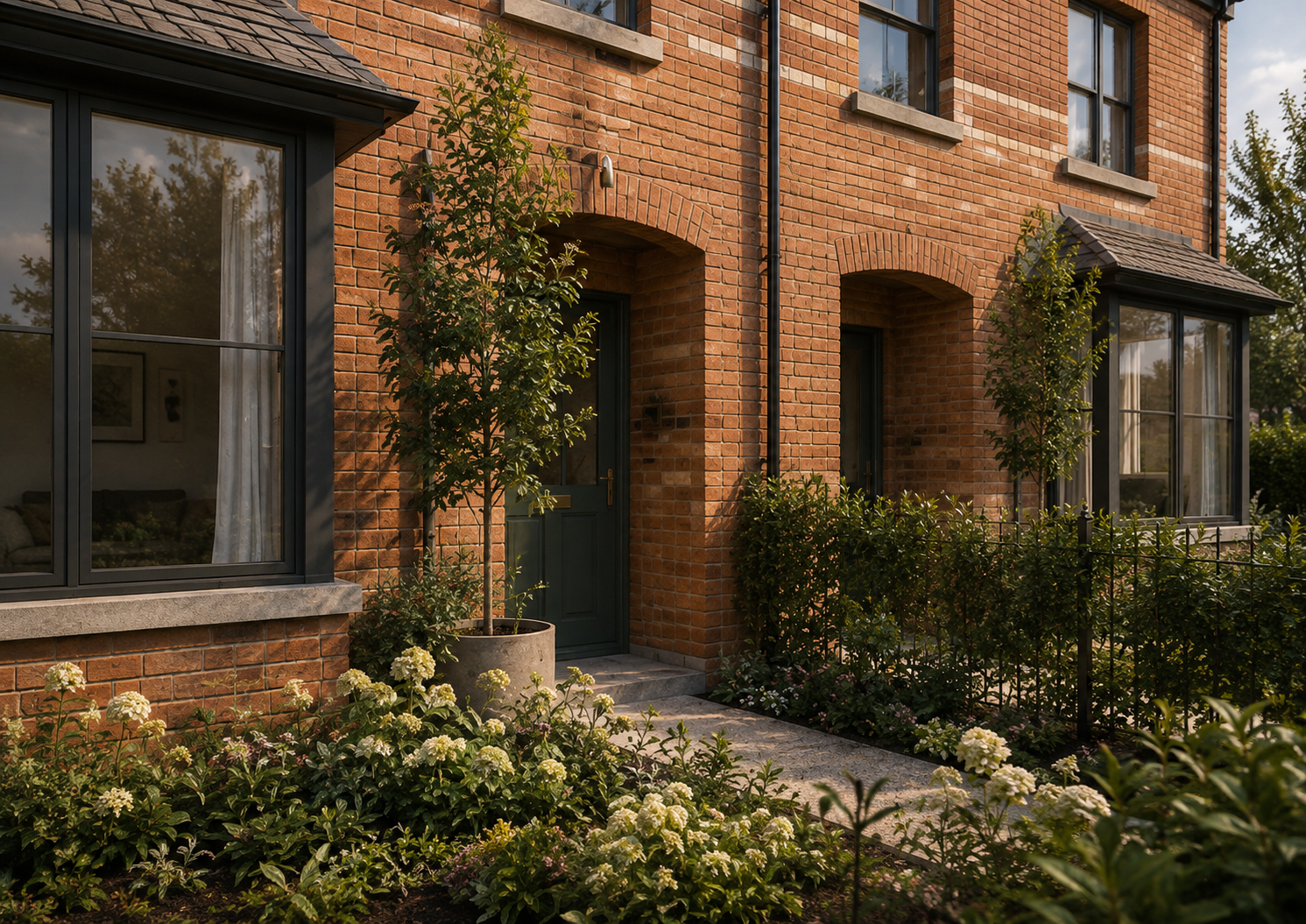
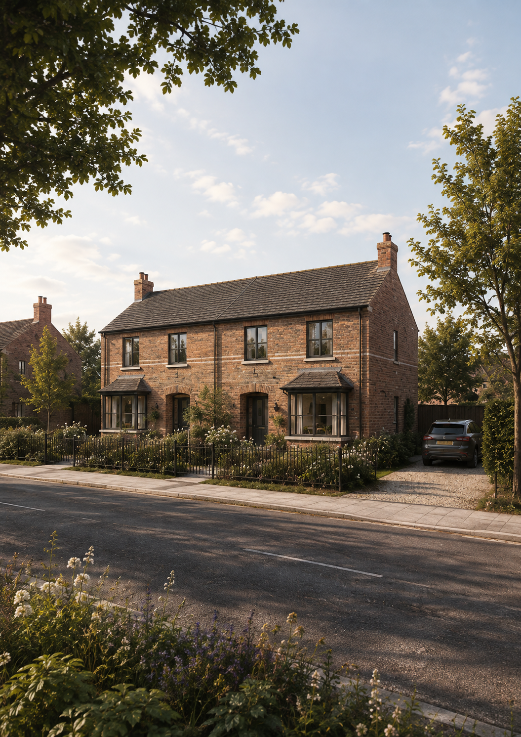
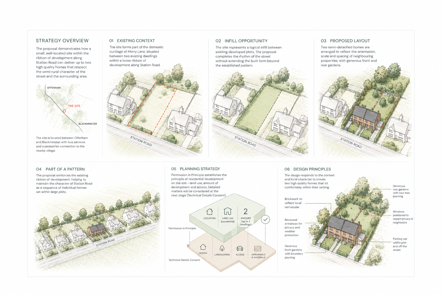
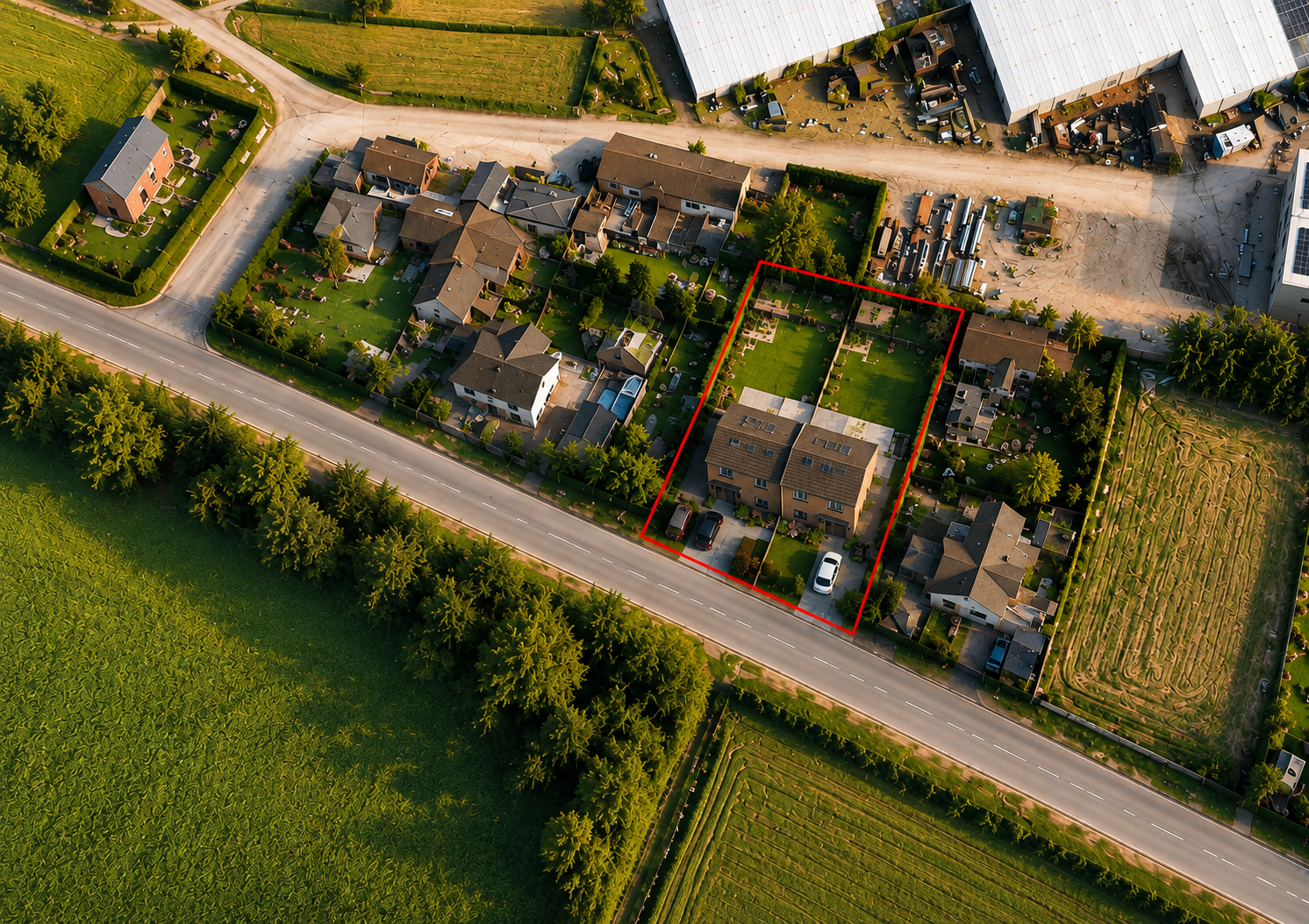
Merry Lane is a small residential infill opportunity on Station Road, between Offenham and Blackminster. The 0.1-hectare site forms part of the domestic curtilage of an existing dwelling and sits within a loose ribbon of houses characterised by generous plots and substantial gaps between buildings.
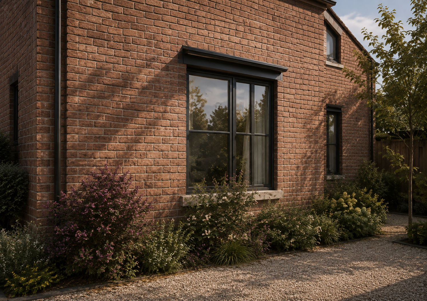
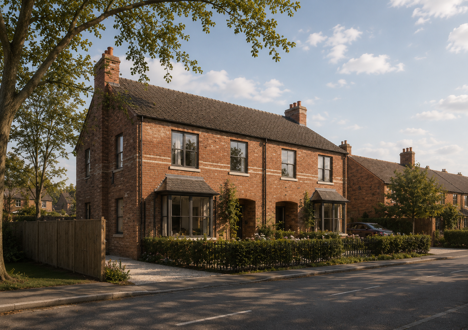
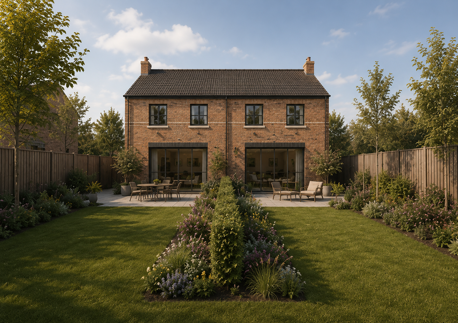
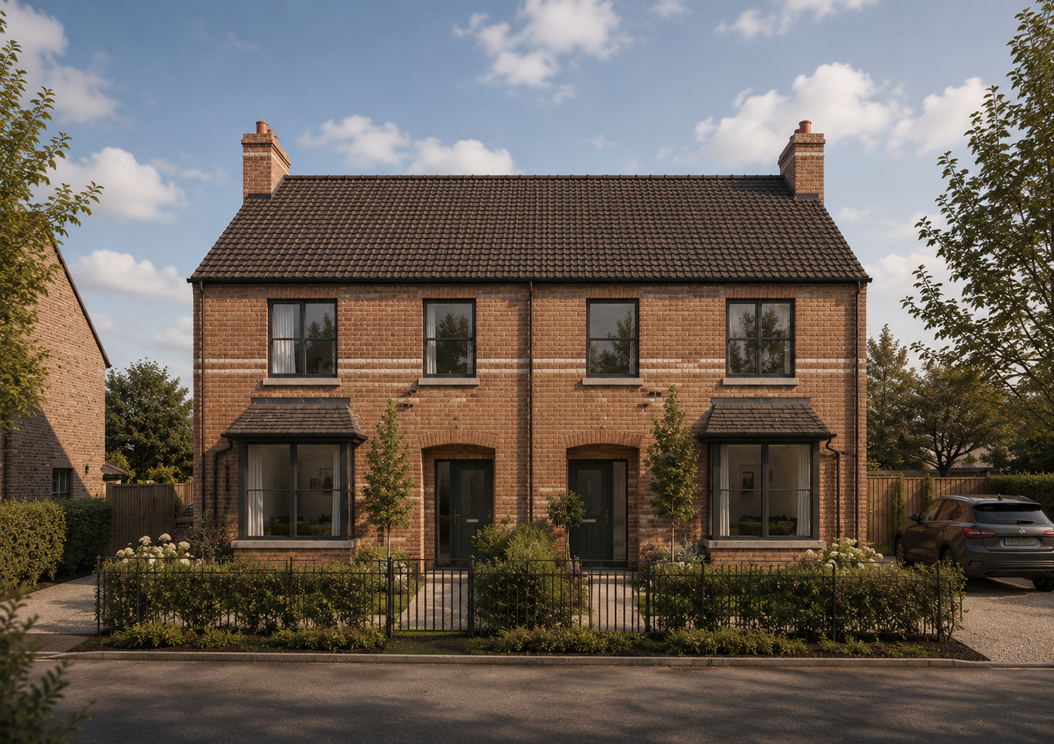
The proposal establishes the principle of development for up to two homes, conceived as a pair of semi-detached houses that continue the established pattern along the road. The approach responds to the relatively low-density, semi-rural character of its surroundings rather than seeking to maximise development on the site.
Permission in Principle was granted in March 2025, establishing the residential potential of the land and providing the basis for detailed design through Technical Details Consent.
Location Offenham, Worcestershire
Use Residential · Rural Infill
Status Permission in Principle Approved
Scale 2 family homes · 0.1 ha
Role Planning Strategy · Architecture · Development Advice
Establishing the principle first
SWAP provided planning, architectural and development advice, with the first objective being to establish whether residential development could be secured before progressing into detailed design.
The land sits outside the defined development boundary and was therefore treated as open countryside under the adopted development plan, where new residential development is normally strictly controlled. Rather than beginning with a conventional detailed application, the project used the Permission in Principle route to address the fundamental questions of location, land use and amount of development first.
The architectural proposition supported that strategy. Two homes were arranged as a semi-detached pair, continuing the ribbon of development along Station Road rather than introducing a separate or isolated form of development.
Permission in Principle was granted for up to two dwellings, establishing the residential potential of the land and creating a clear route towards Technical Details Consent.
ROLE
Planning Strategy · Planning Application Management · Development Strategy · Feasibility · Development Appraisal · Architectural Design · Development Advice
Development beyond the settlement boundary
The central planning issue was straightforward but significant: the site lies outside Offenham's defined development boundary and the proposal did not fall within the normal exceptions for new countryside housing. On the face of the adopted development plan, the principle therefore conflicted with Policy SWDP2.
The case turned on a more detailed reading of the site and the wider planning position. The land lies between existing houses rather than in an isolated countryside location, with Offenham around 600 metres away, nearby bus services and a pedestrian connection towards the village. At the time, the Council could demonstrate only a 1.10-year supply of deliverable housing sites, engaging the NPPF's tilted balance.
Officers ultimately concluded that the site's sustainable location, established ribbon pattern and contribution to housing supply outweighed the policy conflict.